 [:fr]Station météo du Sorgia[:en]The Sorgia Weather Station[:]
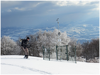
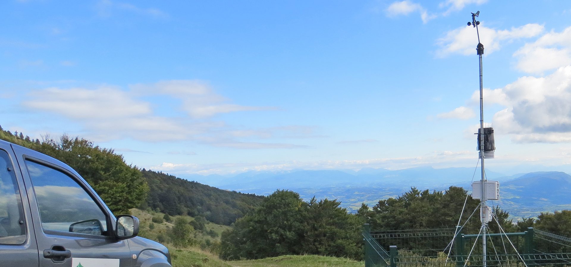
[:fr]Afin d’améliorer les connaissances en termes de conditions météorologiques et d’évolution climatique un réseau de 5 stations météorologiques a été développé en 2015 sur le territoire de la Réserve naturelle (crédits photo : RNNHCJ)[:en]In order to improve our understanding of meteorological conditions and our evolving climate, five weather stations were set up in the Natural Reserve in 2015 (Photo credits: RNNHCJ).[:]
Stations météo
Située dans la zone médio-européenne et plus précisément dans le domaine alpin, la Haute Chaîne du Jura est sous l’influence d’un climat semi-continental à nuances montagnardes et subalpines sur les sommets où les précipitations restent de type océanique.
On observe sur la Haute Chaîne du Jura plusieurs variations climatiques. Ce chaînon de montagne, orienté nord-est / sud-ouest, agit comme une barrière orographique quasiment perpendiculaire aux fronts induits par les dépressions atlantiques. Les conditions climatiques sont donc contrastées entre le Pays de Gex à l’est et la Vallée de la Valserine à l’ouest.
La Réserve naturelle s’étage de 550 m à 1 718 m d’altitude. Cette amplitude produit de fortes modifications climatologiques. On observe également des modifications entre le nord, dénommé souvent la « Taïga du Haut Jura », et le sud, où une influence méditerranéenne favorisée par le couloir rhodanien se fait sentir jusqu’au pied de la Vallée de la Valserine et sur le versant sud du Crêt d’Eau.
Afin d’améliorer les connaissances en termes de conditions météorologiques et d’évolution climatique ainsi que ses éventuelles incidences à l’échelle de la Réserve naturelle nationale de la Haute Chaîne du Jura (RNNHCJ), un réseau météorologique a été développé sur son territoire.
Il comprend cinq stations météo couvrant le territoire du Nord au Sud, d’Est en Ouest, et ce à des altitudes différentes et complémentaires (La Vattay, Lélex, Montoisey, Léaz et Sorgia du haut).
L’installation et le suivi de ces stations se fait en partenariat avec ROMMA (Réseau d’observation météo du massif alpin). Ces données météorologiques sont disponibles en temps réel (non prévisionnelles) et sont également archivées afin de constituer des historiques et d’élaborer la climatologie de la station via le site : www.romma.fr