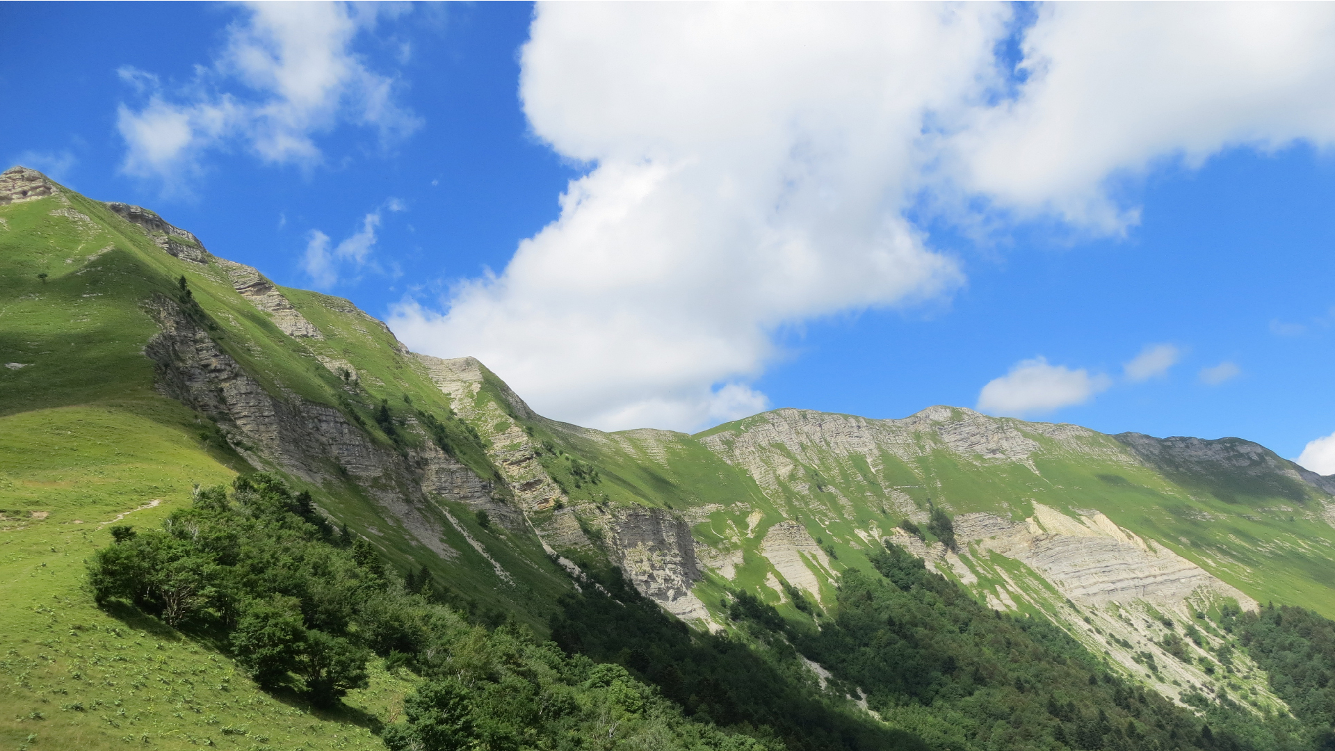
 [:fr]Vue sur la Haute Chaîne du Jura en été[:en]View of the High Jura in summer[:]
[:fr]Véritable montagne emblématique, la Haute Chaîne du Jura est, pour l’essentiel de son territoire, classée en Réserve naturelle nationale depuis 1993. Avec près de 11 000 hectares, elle compte parmi les plus grandes de France métropolitaine (crédits photo : RNNHCJ).[:en]The iconic chain of the High Jura mountains has for the most part been classified as a National Natural Reserve since 1993. At almost 11 000 hectares it is among the most extensive mountain ranges in Metropolitan France. (photo credits: RNNHCJ).[:]
Localisation
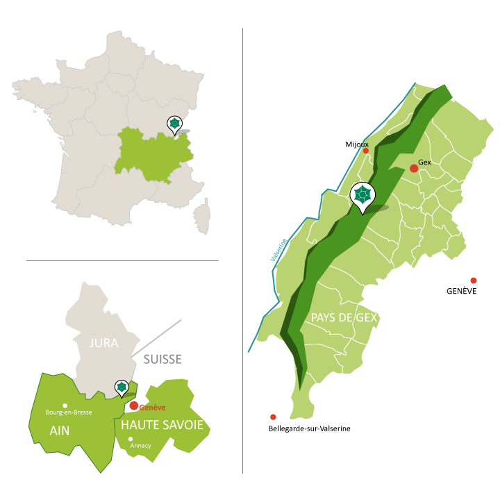
Située en région Auvergne-Rhône-Alpes dans le département de l’Ain, la Réserve naturelle nationale de la Haute Chaîne du Jura est délimitée au nord par la frontière franco-suisse, au pied de la Dôle, et au sud, par la cluse du Rhône. Sa superficie couvre 10 909 hectares et englobe les plus hauts sommets du massif du Jura parmi lesquels le Crêt de la neige (1720 m), le Reculet (1718 m), le Colomby de Gex (1688 m) et le Crêt de la Goutte (1 621 m).
18 communes ont, pour partie, leur territoire inclus dans les limites de la Réserve naturelle : Bellegarde-sur-Valserine, Chézery-Forens, Collonges, Confort, Crozet, Divonne-les-Bains, Echenevex, Farges, Gex, Lancrans, Léaz, Lélex, Mijoux, Péron, Saint-Jean-de-Gonville, Sergy, Thoiry et Vesancy.